History of Beam Parklands
Introduction
After a year-long, multi-million pound development project, the Beam Parklands in Dagenham was officially opened in July 2011, the first park to be created in London since 2000. The Beam Parklands Project has transformed the Dagenham Washlands, a crucial flood defence and Brownfield site into an innovative, award winning multi-functional quality green space for both people and wildlife.
This 53-hectare site has over 12 hectares of UK Priority BAP (Biodiversity Action Plan) Habitat including reedbeds, ponds, wet woodland, lowland fen and acid grassland.
The Wantz Stream
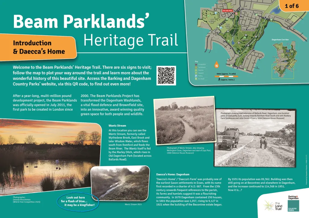
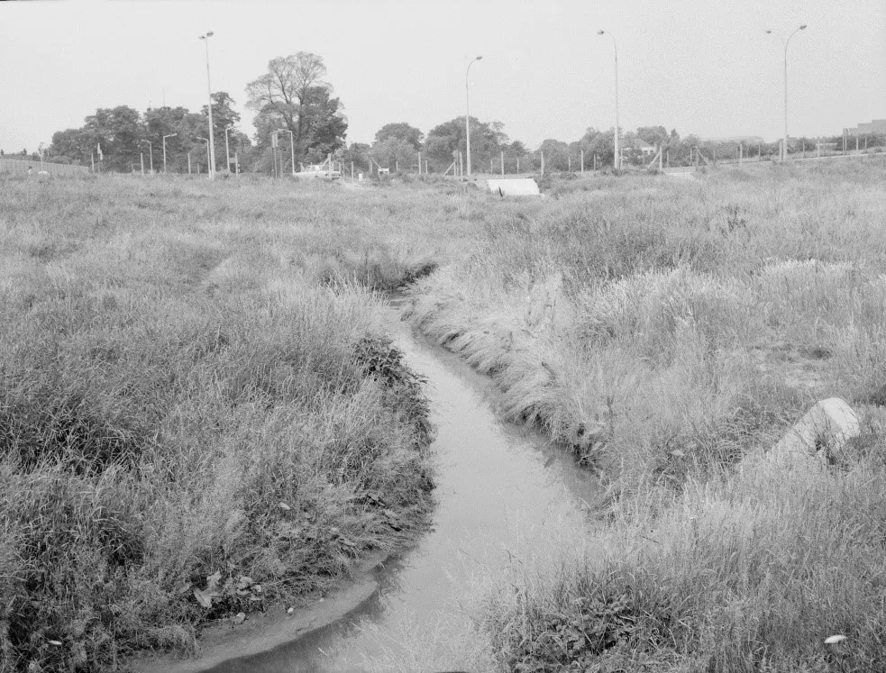
The Wantz Stream, formerly called Wythedene Brook, East Brook and later Wisdom Water, flows south from Romford, through the Beam Parklands and feeds the Beam River. The Wantz itself is fed by the Marley Ditch, which rises in Old Dagenham Park (located across Ballards Road).
Daecca’s Home
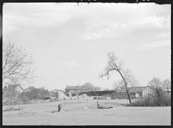
Dagenham (‘Daecca’s home’ or ‘Daecca’s Farm’) was probably one of the earliest Saxon settlements in Essex, with its name first recorded in a charter of A.D. 687. From the 13th century onwards references to the parish, its farms and hamlets, are sufficiently numerous to suggest a flourishing community. In 1670 Dagenham contained 150 houses. In 1801 the population was 1,057. It rose steadily to 4,324 in 1891, and then to 9,127 in 1921. When the building of the Becontree estate began, Dagenham was already a populous place and, although most of it was still rural, there had been some development near the railway stations at Dagenham village, in the south-east, and at Chadwell Heath in the centre. By 1931 the population of the urban district was 89,362. Building was then still going on at Becontree and elsewhere in Dagenham, and the increase continued to 114,568 in 1951.
The Leys Lido
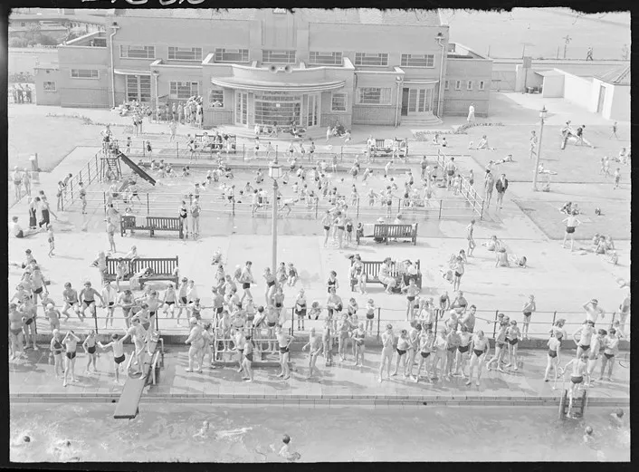
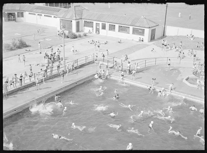
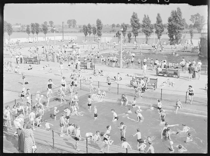
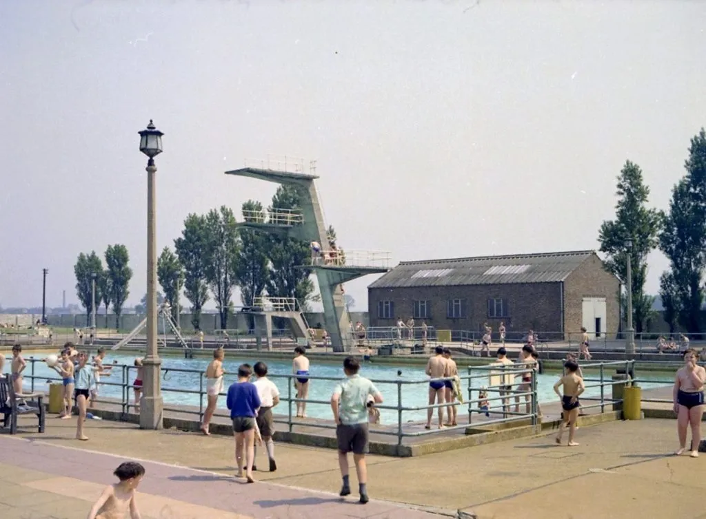
The site of the Leys playing field was purchased by Dagenham Urban District Council in 1928 to provide for public recreation and at one time had a superb open-air swimming pool, which opened in 1939.
Even though the lido (pronunciation liedo or leedo, how do you say it?) was damaged by enemy action in three air raids during September and October 1940, it continued to be highly popular with local residents, and people from further afield, throughout the 1950s, 60s and 70s. It eventually closed after the 1979 summer season; in February 1980 the diving boards had extensive damage and it did not open that summer. Although estimates for long-term repairs were put together, and the public made a final attempt to open it in 1984, the pool never re-opened.
Evidence of Roman Occupation
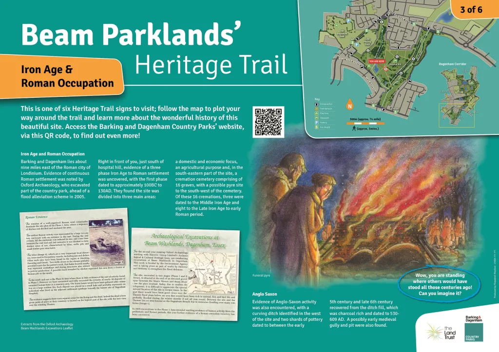
Roman occupation of Britain is recorded as 43AD to 409AD and Barking and Dagenham was approximately nine miles east of the Roman city of Londinium.
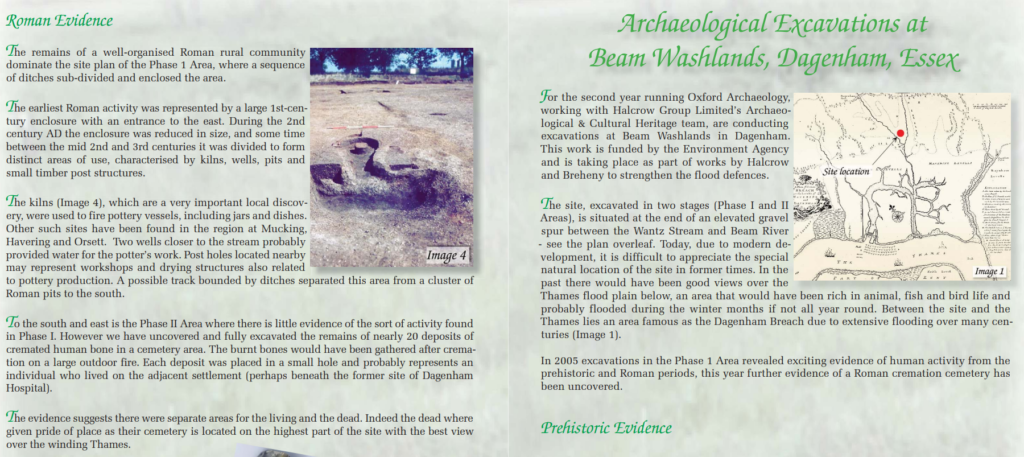
Evidence of continuous Roman settlement was noted by Oxford Archaeology, who excavated part of the Beam Parklands Country Park ahead of a flood alleviation scheme in 2005 to 2006 in the south of the park. A three phase Iron Age to Roman settlement was uncovered.
The first phase was dated to approximately 100BC to 130AD, where the site was divided into three main areas: the site had a domestic and economic focus in the north-west, the site was used for agricultural purposes in the south-east and the eastern part of the site (the area adjacent to and around the Old Hospital mound) was used as a cremation cemetery.
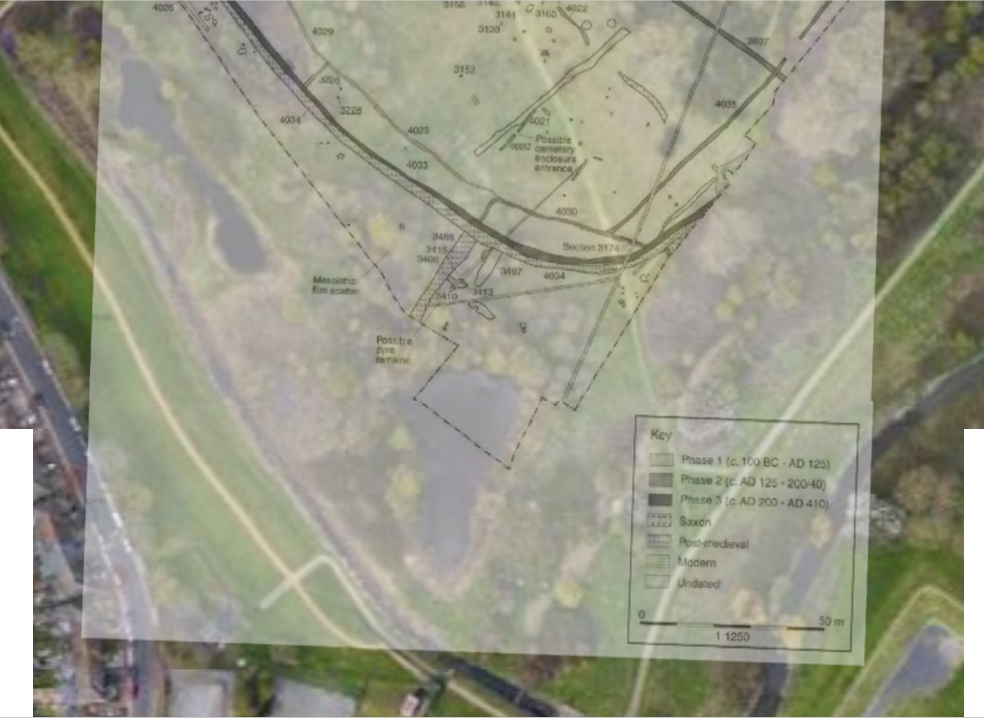
A large enclosure in the northern part of the site was constructed in the 1st century AD. This consisted of a 60 metre long ditch with a terminal at the south end which formed a four metre entrance. The enclosure was subdivided, with the eastern area containing 58 postholes thought to be the remains of fences and buildings. A ditch acting as a division was excavated in the northern part of the enclosure, which was identified as a division to delineate a working area.
To the east of the enclosure ditch, two more ditches were encountered which are thought to have been part of a further enclosure. Within this third enclosure were pits and a possible circular structure which contained Iron Age pottery. Further ditches indicated that the enclosure complex extended to the east, outside the area of excavation.
A ditch to the south of the enclosure was seen to represent a boundary between the enclosed space to the north and the open landscape to the south. This ditch had been re-cut numerous times over the first to third centuries AD. Around 50 metres to the south of the enclosure were two parallel ditches aligned east-west, which probably formed a trackway.
The southern part of the site was used for agricultural purposes and comprised pits, postholes, ditches and an enclosure. Within this enclosed area were the remains of a compacted clay floor, which was thought to be part of a small stock holding pen or similar structure. Near to this feature was a ditch and a large pit or waterhole which are thought to be associated with the stock pen structure.
The area next to Hospital Hill
In the central area of the south-eastern part of the site a cremation cemetery comprising 16 graves was found, with a possible pyre site to the south-west of the cemetery. Of these 16 cremations three were dated to the Middle Iron Age and eight to the Late Iron Age to early Roman period. The cemetery was defined by two ditches to the north-east and south-east of the cremations with one entrance.
During the second phase of activity, dating to 125-240 AD, activity remained in the north-west of the site. The main enclosure was extended to the north, and a pottery production site, including kilns, was constructed. The vessel types from both kilns indicated that they were used in the 2nd to 3rd centuries. Activity in the open landscape to the south was sparse compared with the first phase, suggesting no major changes to the role of the landscape.
There was some division of the landscape with an enclosure created to the east of the area and another in the south-west area, near the promontory.
The third phase of activity, dated to 200-409 AD, saw activity shift south of the main enclosure constructed in the first phase. The upper fill in the latest ditch in a series of re-cuts, along the edge of the promontory, contained a vessel.
Anglo Saxon
Evidence of Saxon activity was also encountered. A curving ditch, oriented south-west to north-east, was identified in the west of the site and two shards of pottery dated to between the early 5th century and late 6th century were recovered from the ditch fill. The pit had a charcoal rich fill and was dated to 530-609 AD. A further possibly early medieval gully and pit were found.
The archaeology of the Beam Washlands site was published in 2 journal articles:
- The Prehistoric evidence – published in 2017
Champness, C, Donnelly, M, Ford, B M and Haggart, A, 2017, Life at the floodplain edge: Terminal Upper Palaeolithic and Mesolithic flint scatters and early prehistoric archaeology along the Beam river valley, Dagenham, Transactions of the Essex Society for Archaeology and History Volume 6 (4th Series) 2015, 5-45 - The Roman evidence – published in 2011
Biddulph, E, Brady, K, Ford B M, and Murray, P, 2011, Roman settlement, pottery production, and a cemetery in the Beam valley, Dagenham. Transactions of the Essex Society for Archaeology and History Volume 1 (4th Series) 2010, 109-165
Dagenham Hospital
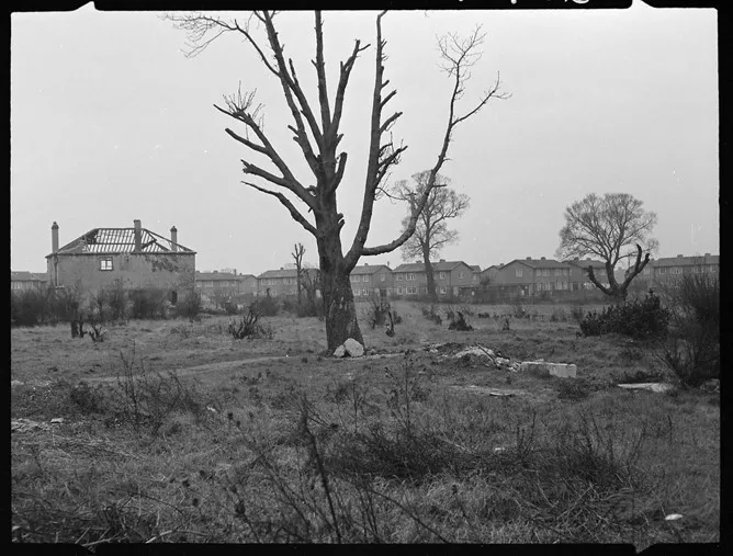
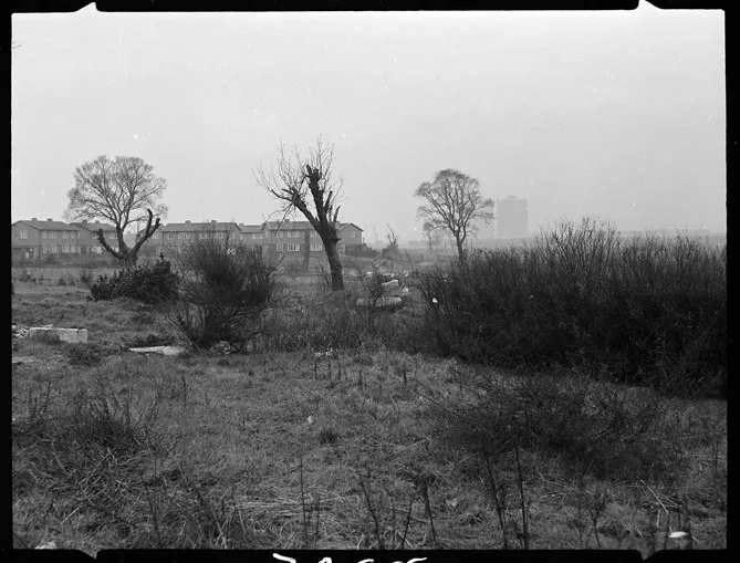
In the middle of the park, to the north of the excavated area of Roman burials, are the remains of a late 19th century infectious diseases hospital.
Dagenham Sanatorium / West Ham Sanatorium
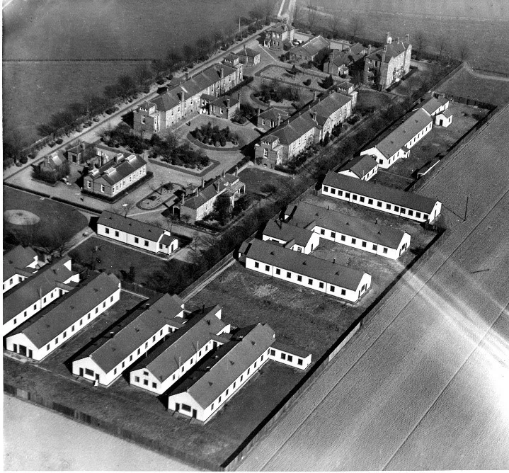
Despite objections by Dagenham Parish Council, Dagenham Smallpox Hospital was opened on the site of Rookery Farm by the Borough of West Ham on 25 March 1899. It consisted of single-storey brick buildings surrounding a quadrangle. The wards contained 16 beds each, and had windows two metres from the floor, apparently so all the patients could see was the sky.
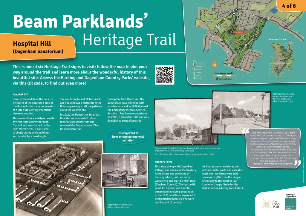
In 1911, the Dagenham Smallpox Hospital was converted into a sanatorium (i.e. a facility for people who are convalescing or who have long term illnesses), for people suffering from pulmonary tuberculosis, also known as TB. It was renamed the Dagenham Sanatorium (sometimes referred to as the West Ham Sanatorium).
Dagenham Sanatorium was extended with the addition of wooden huts during the First World War. It was then closed to TB patients, and instead beds were reserved for smallpox patients in 1920, before reopening in 1922.
At the outbreak of the Second World War, the sanatorium had 128 beds and joined the Emergency Medical Service. It became part of the National Health Service in 1948, under the control of the Ilford and Barking Group Hospital Management Committee of the North East Metropolitan Regional Hospital Board. At this time the sanatorium consisted of the original brick buildings and the wooden huts from the First World War. All the buildings were single-storey, except for the Nurses’ Home.
In 1951, when the sanatorium had 133 beds, it was renamed Dagenham Hospital, but continued to specialise in cases of TB. The hospital covered a wide area, requiring a considerable network of roads. It did not have an operating theatre, but there was an X-ray Department, Dental Surgery, ENT Casualty Room, Pathology Laboratory and Dispensary.
The roads on the site were gradually improved. Meanwhile, furniture and equipment were renewed, the wards were re-decorated and new accommodation was built for the resident medical staff. By 1957, it is worth noting that the average age of the patients on admission had increased, and this more elderly group required more nursing care.
Following a major reorganisation of the NHS in 1974, the hospital came under the control of the Redbridge and Waltham Forest Area Health Authority, part of the North East Thames Regional Health Authority. It still had 56 beds for males with chest disease, but the beds allocated for geriatric patients had increased to 137.The hospital closed in 1989, and the hospital buildings were later demolished. The site of the hospital is now part of Beam Parklands Country Park.
Rookery Farm
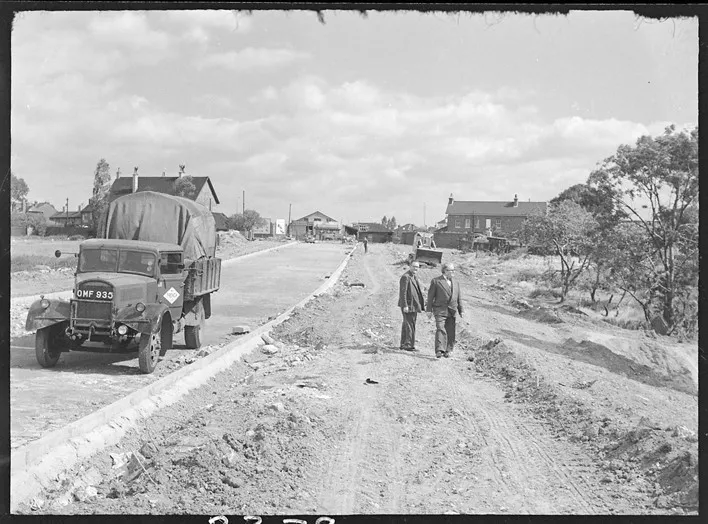
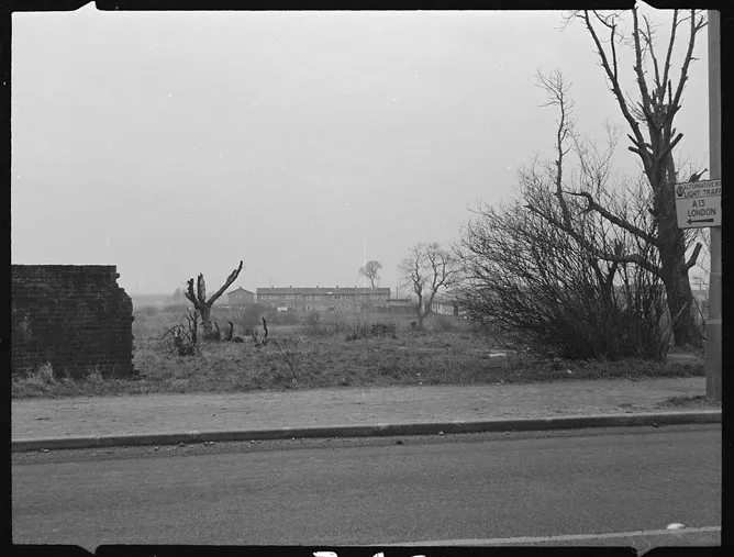
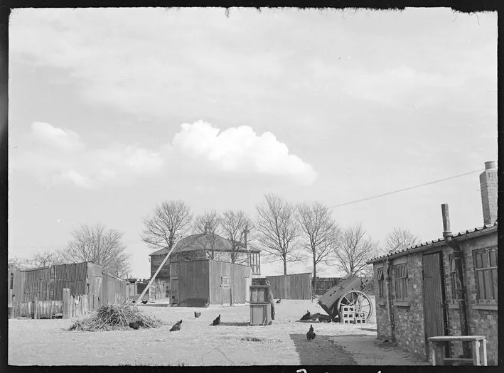
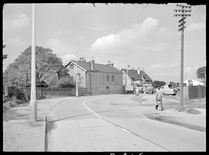
The area north of the old hospital, along with Dagenham Village, was known as the Rookery Farm Estate and consisted of housing which, until recently, was owned and built by West Ham (Newham Council). The Leys, with some tin houses, was built for Dagenham’s growing population in the 1930s and later expanded to accommodate families who were bombed out of London. Its houses were two-storey with pressed-metal walls and asbestos roofs and, residents were told, some were gifts from the people of Norway to the bombed-out Londoners in gratitude for the British actions during World War 2.
Once you have completed the Beam Parklands’ Heritage Trail, have a wander around the Leys estate as you can still view the exteriors of these houses and the wonderfully exotic street names!
Romford Canal
The first of many proposals for the Romford Canal was made in 1809, although construction work did not commence until 1875, which was surprising as many canals had already closed by this time due to the competition posed by the railways. However, construction ceased only two years later, causing the canal to never actually be completed.
The course was to be from Romford to the Thames, near the River Beam outfall adjacent to the Dagenham motor works. In the early 19th Century, Romford was one of the main sources of potatoes for the London market and a canal was proposed from the Thames to Romford and Collier Row to take the crops into London and bring back manure (probably from the Hansom cab horses!) on the return journey.
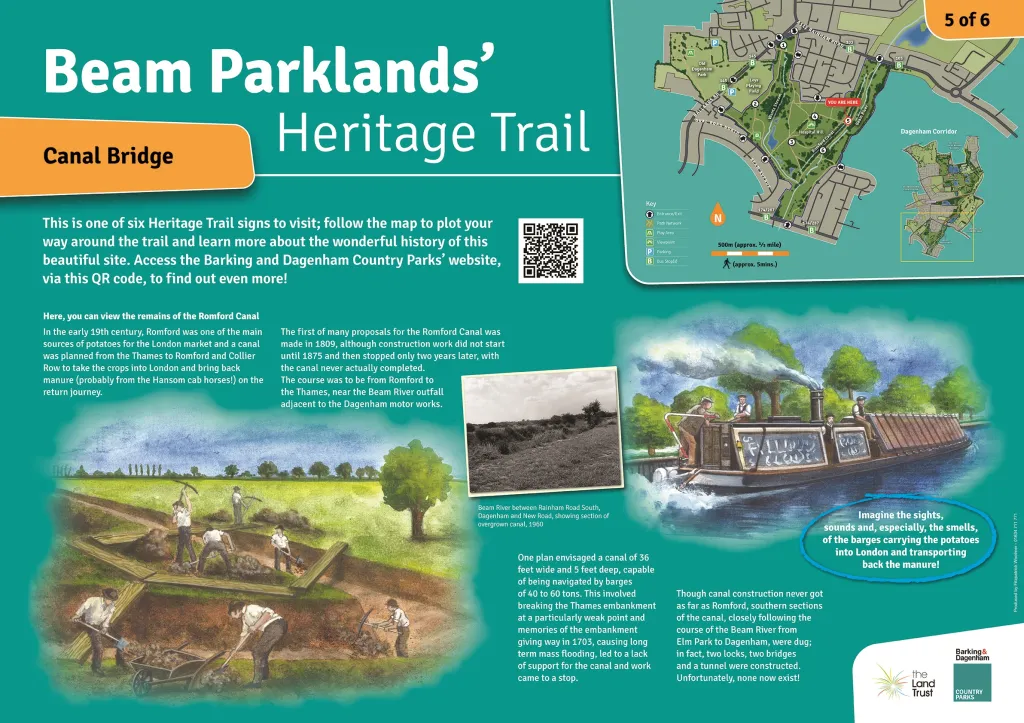
Cargoes of agricultural produce, lime and coal were also proposed. One plan envisaged a canal of 36 feet wide and 5 feet deep capable of being navigated by barges of 40 to 60 tons. This involved breaking the Thames embankment at a particularly weak point and memories of the Thames embankment giving way in 1703, causing long term mass flooding, led to a lack of support for the canal, ensuring that the company was unable to raise sufficient further capital. Canal construction never got as far as Romford.
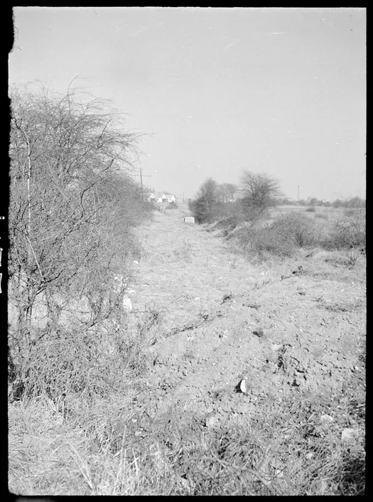
Southern sections of the canal closely following the course of the Beam River, from the Elm Park area to Dagenham were dug; in fact, two locks, two bridges and a tunnel were constructed (though none now exist).
World War Two Pillbox
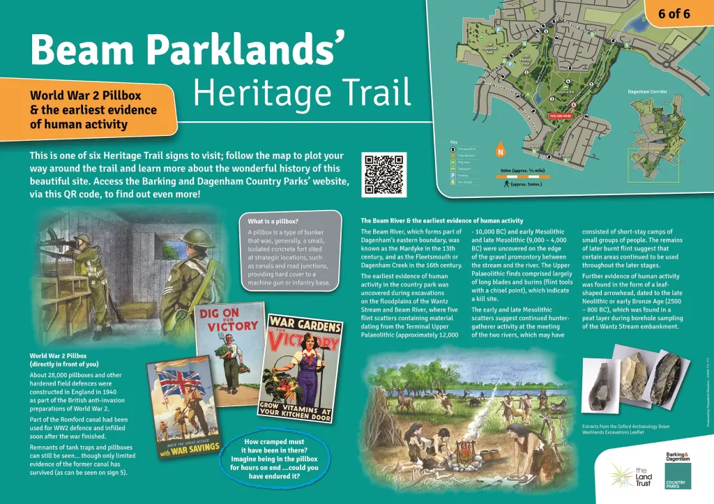
About 28,000 pillboxes and other hardened field fortifications were constructed in England in 1940 as part of the British anti-invasion preparations of World War 2.
A pillbox was so called by the British soldiers because, as you can possibly guess, their construction resembled a similar shape to the boxes containing pills provided by chemists during this time.
What is a pillbox? A pillbox is a type of bunker that was, generally, a small, isolated concrete fort sited at strategic locations, such as canals and road junctions, providing hard cover to a machine gun or infantry base.
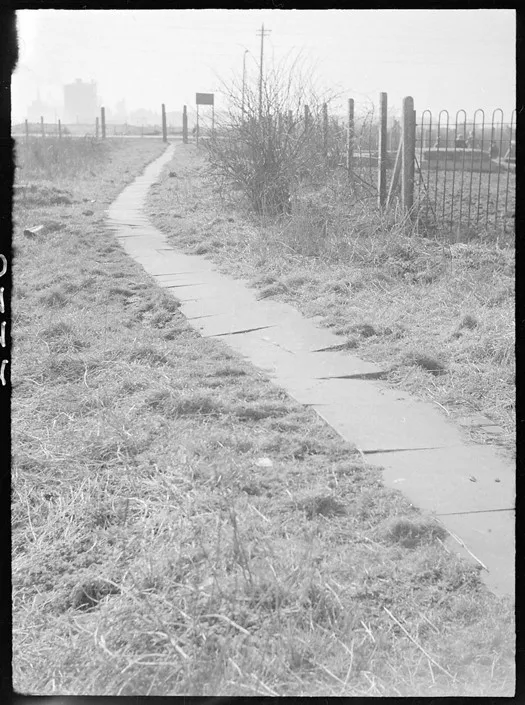
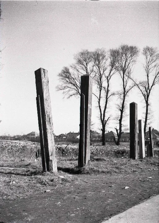
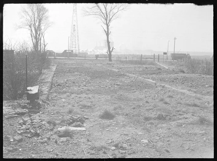
Part of the Romford canal had been used for WW2 defence and infilled soon after the war finished. Remnants of tank traps and pillboxes can still be seen, though only very limited evidence of the former canal has survived (see Panel 5 above).
The Beam River & the Earliest Evidence of Human Activity
The Beam River, which forms part of Dagenham’s eastern boundary, was known as the Mardyke in the 13th century, and as the Fleetsmouth or Dagenham Creek in the 16th century.
The earliest evidence of human activity in the country park was uncovered in 2010 during excavations on the floodplains of the Wantz Stream and River Beam, where five flint scatters containing material dating from the Terminal Upper Palaeolithic (approximately 12,000 – 10,000 BC), early Mesolithic and late Mesolithic (9,000 – 4,000 BC) were uncovered on the edge of the gravel promontory between the stream and the river. One of these, dating to the late Mesolithic, was situated across the borough boundary in Havering on the edge of the River Beam. Four burnt flint spreads were also encountered, dating from the Mesolithic and possibly the Bronze Age. The Upper Palaeolithic finds comprised largely of long blades and burins (flint tools with a chisel point), which indicate a kill site.
The early and late Mesolithic scatters suggest continued hunter-gatherer activity at the meeting of the two waterways, which may have consisted of short-stay camps of small groups of people. The remains of later burnt flint suggest that certain areas continued to be used throughout the later stages.
Further evidence of human activity was found in the form of a leaf-shaped arrowhead, dated to the late Neolithic or early Bronze Age (2500 – 800 BC), which was found in a peat layer during borehole sampling of the Wantz Stream embankment.
Neolithic (circa 10000 BC) is used to describe things relating to the period when people had started farming but still used stone for making weapons and tools.